
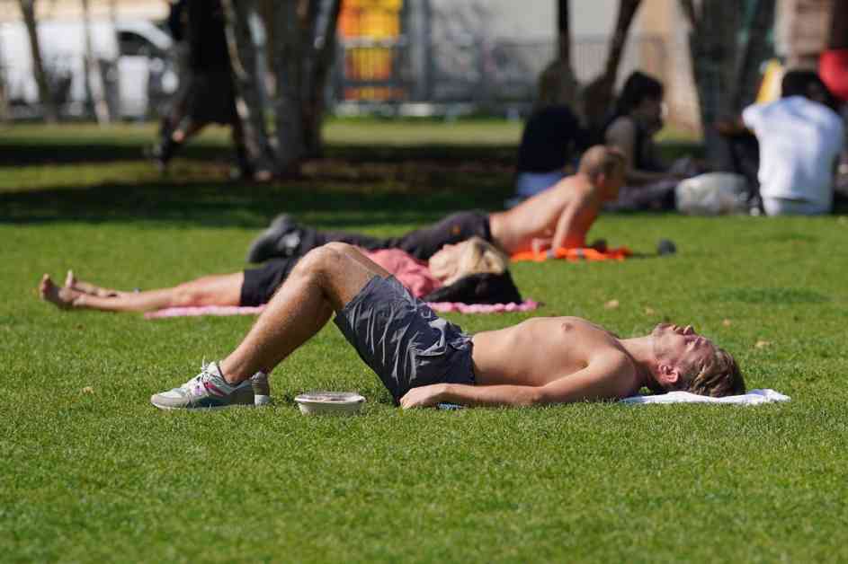
The UK is gearing up for a potential heatwave this week, with the Met Office predicting that Tuesday could be the hottest day of the year so far. After a rather damp and cool summer, temperatures are set to soar to 32C in London, with much of the UK expected to experience “very warm, locally hot weather” in the coming days.
Met Office forecaster Simon Partridge mentioned that there is a possibility of the upcoming weather officially being classified as a heatwave. The technical criteria for a heatwave in the UK is when a location records at least three consecutive days with maximum temperatures exceeding a specified value. For most of the UK, this threshold is 25C, while in London and the surrounding areas, it is 28C due to typically higher temperatures.
Temperatures are anticipated to reach 27C in certain local areas on Sunday, with highs of 29C on Monday and 32C on Tuesday expected in south-east England. The hottest day of the year was recorded at 31.9C in central London on July 19. Most regions of the country will experience temperatures four to five degrees above the average for this time of year, except for the far north-western areas of Scotland and parts of Northern Ireland which may see some cloud and rain on Monday and Tuesday.
Despite the sunny weather, heavy thundery rain is predicted to arrive on Wednesday, although it is uncertain whether this will affect just the south of England or other parts of the UK. Nevertheless, temperatures are forecasted to remain high as we head into the first week of August. Mr. Partridge mentioned that although there may be a brief cool down after the thunderstorms, temperatures will still be around normal levels, if not slightly warmer.
In conclusion, it seems like a bit of summer is finally making an appearance in the UK after a rather gloomy start. Be sure to enjoy the warm weather while it lasts, as changes may be on the horizon as we move into August. Stay tuned for further updates on the weather forecast in your area.


")

