
Unpredictable British Storm Hits Southern UK with Severe Weather Alert
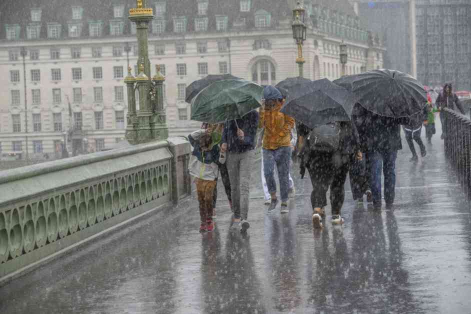
The southern UK is bracing itself for a significant weather event as a British storm brings heavy rainfall and the potential for flooding, power cuts, and travel disruption. The Met Office has issued yellow weather warnings for Thursday and Friday, covering most of southern England and South Wales. The forecast predicts up to a month’s worth of rain falling in just 48 hours, with some areas expected to receive as much as 80mm to 100mm of rain.
The Impacts of the Severe Weather Alert
The potential impacts of this severe weather event are significant, with the Met Office warning of possible flooding, power cuts, and damage to buildings. Fast-flowing and deep floodwaters are expected, posing a risk to life and property. Residents in affected areas are advised to check whether their property is at risk of flooding and to prepare emergency flood kits and food plans.
The heavy rainfall could lead to travel disruption, with delays or cancellations to train and bus services possible. Difficult driving conditions and road closures are also likely due to spray and flooding. The Met Office emphasizes the importance of staying informed and taking necessary precautions to ensure safety during this weather event.
Weather Patterns and Forecast for the Southern UK
According to the Met Office weather maps, heavy rain is expected to move in from the south, with most of the southern UK at risk of heavy rainfall by early afternoon. Some areas could see more than 32mm of rain in a short period of time, leading to the potential for flooding. The weather system is forecasted to shift westwards as the day progresses, with South Wales and Cornwall facing an increased risk of heavy rain.
As the severe weather alert continues into Friday, persistent rainfall is expected to impact the southern UK. Rainfall totals of 15-30mm are forecasted widely, with the wettest areas likely to see 40-60mm throughout the day. Some areas may even experience as much as 75-100mm of rain, posing a heightened risk of flooding and other weather-related impacts.
Summer Weather Recap and Transition to Autumn
The current severe weather event comes after a summer that saw below-average temperatures and significant regional variation in rainfall across the UK. The Met Office reports that the UK experienced a colder-than-average summer, with cool weather particularly affecting Scotland and Northern Ireland. While some parts of the UK saw above-average rainfall, others experienced drier conditions than usual.
As autumn begins, hopes for milder weather are tempered by the unpredictable nature of British storms. The transition from summer to autumn brings with it the potential for severe weather events like the one currently impacting the southern UK. Residents are urged to stay informed, prepare for adverse conditions, and take necessary precautions to ensure their safety and well-being.
In conclusion, the severe weather alert in the southern UK highlights the importance of being prepared for unpredictable weather events. The potential for flooding, power cuts, and travel disruption underscores the need for residents to stay informed and take necessary precautions. As the British storm moves through the region, it is essential to prioritize safety and readiness in the face of challenging weather conditions.


")


