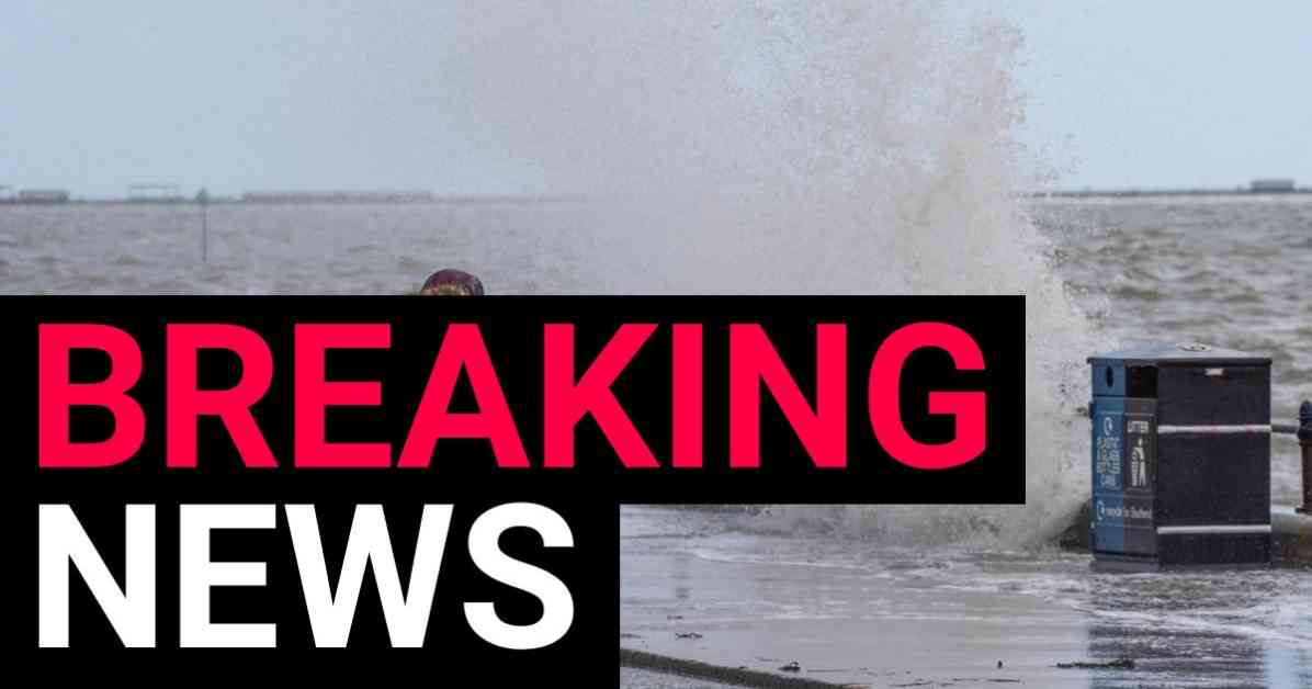
Storm Lilian Approaches: Brace for 80mph Winds, Potential Power Cuts, and Travel Disruption
As the Summer Bank Holiday weekend approaches, Storm Lilian is gearing up to make her presence known with strong winds, power cuts, and travel chaos on the horizon. The Met Office has issued a yellow weather warning, signaling the potential for severe weather conditions in the coming days.
Anticipated to hit early tomorrow morning, Storm Lilian is expected to bring winds exceeding 75mph, particularly impacting northern England, Wales, and parts of southern Scotland. The Met Office has cautioned the public about potential travel disruptions, the risk of power outages, and hazardous conditions near coastal areas.
Met Office Chief Meteorologist Jason Kelly stated, “Warnings highlight potential travel disruption, the possibility of power cuts, and dangerous conditions near coasts. Within the warning area, another 50mm of rain is possible over high ground, with 20-30mm falling quite widely.”
With the ground already saturated from previous rainfall, the risk of surface water flooding is heightened by the additional precipitation expected with Storm Lilian. The strong winds accompanying the storm could potentially cause damage to buildings, with the possibility of tiles being ripped off roofs and flying debris posing a threat to life. Large waves generated by the high winds also present a danger, especially along coastal areas.
Travel Disruption Expected Across Various Modes of Transportation
The impending arrival of Storm Lilian is likely to disrupt travel across all transportation networks, including road, rail, air, and ferry services. Delays and cancellations are anticipated, with major routes such as the M6, A66, and A1(M) potentially affected. Infrastructure may also bear the brunt of the storm’s impact, leading to further travel complications.
To mitigate the risks associated with the storm, individuals are advised to secure any loose items outside their homes, such as bins, garden furniture, and trampolines. It is also recommended to have torches, portable chargers, and batteries readily available in case of power cuts. Coastal areas should be avoided, as the powerful waves could pose a significant threat to safety.
Storm Naming and Public Safety Measures
Lilian marks the 12th named storm to hit the UK since September, with weather officials assigning names to storms that have the potential to cause disruption or damage. This practice aids in communicating public safety messages effectively and ensuring that individuals are adequately prepared for severe weather events.
The previous storm, Kathleen, made its impact felt in April, underscoring the regular occurrence of extreme weather conditions in the UK. Should another storm follow Lilian before the end of September, it will be named Minnie, in accordance with the Met Office’s Storm Centre protocols.
For individuals seeking to share their experiences or report on storm-related incidents, reaching out to news outlets like Metro.co.uk can help disseminate vital information to a wider audience. By staying informed and following updates on weather developments, individuals can better navigate the challenges posed by inclement weather conditions.
In Conclusion,
As Storm Lilian approaches with the promise of powerful winds, potential power cuts, and travel disruption, it is crucial for individuals to take necessary precautions to ensure their safety and well-being. By heeding the advice of meteorological experts and staying informed about weather warnings, the public can better prepare for the challenges posed by severe storms like Lilian. With a proactive approach and a focus on safety, individuals can navigate through the impacts of extreme weather events and emerge resilient in the face of adversity.


