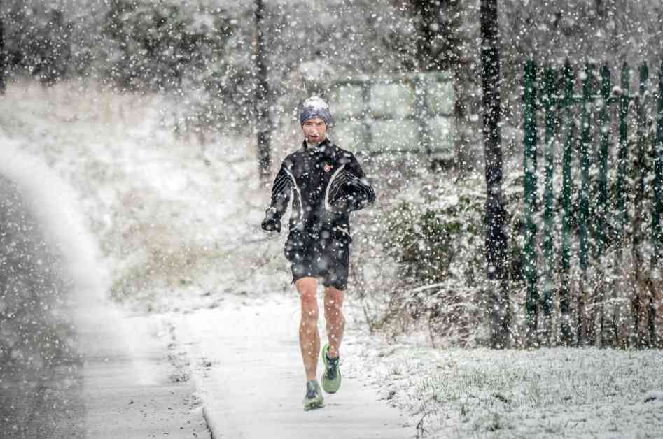
A cold weather alert has been issued across the country as Arctic air is set to deliver the first chills of winter to the UK. The UK Health Security Agency (UKHSA) has issued a warning covering the Midlands and North of England, effective from 9am on Sunday to 9am on Thursday. This alert highlights potential minor impacts on health and social care services, including increased healthcare service use by vulnerable individuals and an elevated risk to the lives of vulnerable populations.
In addition to this alert, the Met Office has issued weather warnings for snow and ice in various areas of England from Sunday to Tuesday. They are advising people to prepare their “woolly jumpers” as temperatures are expected to plummet next week. Commuters are urged to exercise caution during Monday’s rush hour as icy roads are anticipated.
Specifically, a yellow warning has been issued for parts of northern England and southern Scotland on Monday and Tuesday, with the possibility of up to 20cm (8in) of snow on higher ground. There is also a small chance of up to 10cm (4in) of snow settling at lower levels, potentially causing disruptions. This warning covers southern Scotland, north-east England, parts of Yorkshire, and sections of north-west England including Lancashire and Cumbria, in effect from 10am on Monday to 10am on Tuesday.
Furthermore, there is a yellow warning for snow and ice in northern Scotland from 4pm on Sunday to 11am on Monday. Met Office meteorologist Ellie Glaiyser emphasized that Sunday may start quite chilly for many people, with showers expected particularly in northern parts of Scotland in the afternoon. While areas with sunshine and light winds in the far south of England may enjoy temperatures of 11 or 12C, clouds in Northern Ireland and northerly winds in Scotland will keep afternoon temperatures around 4-5C.
Looking ahead to Monday, there is a risk of sleet and snow that could cause disruptions, with up to 20cm of snow possible in some regions. Ms. Glaiyser highlighted the potential for temperatures to drop to zero or below, especially in rural areas, leading to a hard frost on Monday morning and icy stretches. She advised travelers to be cautious during Monday morning’s rush hour, as the sleet and snow are most likely to affect high ground areas.
While the forecast suggests that sleet and snow will mostly impact high ground regions, there is a slight possibility of disruptive sleet and snow at lower levels on Monday afternoon. However, this wintry precipitation is expected to remain over high ground areas in parts of Scotland. Overall, the public is advised to stay updated on weather forecasts and take necessary precautions to stay safe during the upcoming Arctic blast.


